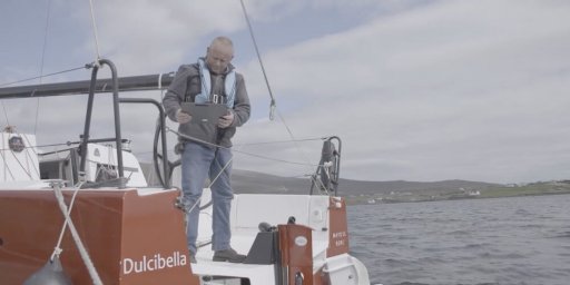
INFOMAR is Ireland’s national seabed mapping programme, funded by the Department of Environment, Climate and Communications (DECC). It is jointly managed by Geological Survey Ireland and the Marine Institute and is tasked with fully mapping Ireland’s territorial waters for the sustainable development of the country’s marine resources.
This film was reviewed for iCRAG by Robert Lepenies, Karlshochschule International University and Global Young Academy.