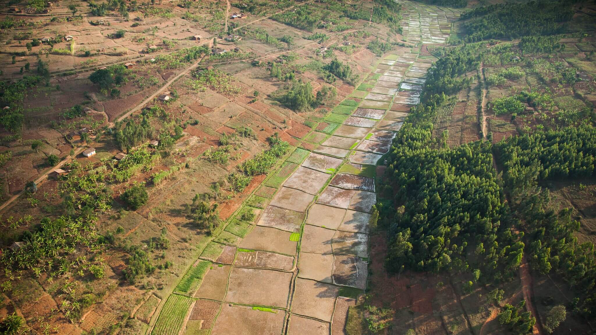
![MONUSCO, Neil Wetmore [CC BY-SA 2.0]](https://council.science/wp-content/uploads/2019/11/MONUSCO-Neil-Wetmore-CC-BY-SA-2.0-scaled.jpg)
Most major cities, including African urban centres, are facing a myriad of challenges in the 21st century. These include rapid population growth and urbanization, infrastructure inadequacies, health concerns, and problems arising from economic challenges and inequality. Certain cities, however, face dual or concurrent problems – those described above, as well as natural hazards in their immediate environment, such as volcanic earthquakes and floods.

Volcanic eruptions and floods have had both short- and long- term impact on the health of people, their socio-economic assets, and the physical environment. Plus, the frequency of natural disasters in Africa in the past 30 years, together with urbanization, has put an increased number of people at risk.
Goma (in the Democratic Republic of the Congo), Limbe and Buea (both in Cameroon) are all significant urban areas, located within active volcanic centres on the continent. Goma is situated at the flanks of Mount Nyiragongo –the second most active volcano in the East African Rift System and one of the most dangerous volcanoes in the world. Limbe and Buea are found at the flanks of Mount Cameroon– the most active volcano along the Cameroon Volcanic Line.
Millions of people have been affected by volcanic activities in these regions in the past, and have faced enforced evacuation, starvation, disease, damage to the local environment, and disruption of the social and economic fabric. Other direct dangers include lava flows, toxic gas emissions from volcanic crater lakes, landslides, floods, and eruptions.
Dr Mabel Wantim, from the University of Buea, is focusing the researching lens on this issue, leading a LIRA-funded project titled “Assessment and characterization of volcanic and flood hazards and their health implications in the cities of Goma, Buea and Limbe”. Wantim seeks to assess the extent and nature of these risks in three cities, as well as their health implications, in an attempt to reduce the associated risks to the cities’ ever-increasing vulnerable populations.
“In Goma and Limbe, we are interested in the health impact of volcanic gases and volcanic ash, which has caused havoc in the lives of people and livestock. Also, the volcanic ash is the source of chlorine and fluorine gas. When the fluorine gets into the water or the soil, it affects the teeth of the people living around the locality. We are collecting data from hospitals and communities, to see how we can sensitise people on these hazards, in the localities and communities involved,” explains Wantim.
Building on the findings, Wantim and her transdisciplinary team organized a series of capacity building workshops with vulnerable populations to raise awareness on the health impacts of volcanic activities, to share their experiences of related health concerns, and to learn about existing local coping strategies and discuss how these strategies can be improved to minimize the health impacts.
In the city of Limbe, the research team is also working on floods, given that the city is regularly affected by them, especially during the rainy season between July to August.
“People also experienced numerous secondary health hazards from post – flooding, because most of the people who are affected by floods remain in the area. They live with the water, in the same area. As a result, there is a lot of water-borne diseases like malaria, diarrhoea, and dysentery.”
The approach in Limbe is to collect health data from local hospitals before, during, and after the flooding periods in order to see trends and prevailing illnesses, and then seek measures for reducing the associated impact on the society.
The public sector in Limbe currently has several projects in place aimed at minimizing the impact of flooding. The research team developed a questionnaire to assess the effectiveness of these projects. However, effective implementation of long-term measures depends on the availability of financial resources.
In Buea, the team is looking at the damage to property as a result of earthquakes emanating from Mount Cameroon. Increased urbanisation has led to the construction of multi-storey buildings that fall outside of building codes for earthquake-prone zones. According to Wantim, many buildings have been shattered or destroyed. And although few, if any, deaths have been directly caused by these, secondary consequences such as fleeing and accidents have resulted in deaths.
The research team is working together with engineers, architects, seismologists, City Councils, and traditional rulers to develop an official building code for the earthquake-prone region of Mount Cameroon, which is expected to be launched in December 2019.
In Buea, unfortunately, not enough has been done to actually address the threats from volcanic earthquakes. The seismological centre that was placed a few kilometres away from the volcano in 1982 stands, but most of the seismological equipment there is no longer functioning properly. In response to this, the University of Buea has constructed a Volcano Laboratory to monitor precursory activities from Mount Cameroon and try to predict future eruptions. The laboratory is currently being equipped.
There have been many challenges to the work of the project, micro and macro, such as an instance of being misquoted in the media as saying an eruption was about to occur, and the significant conflict in certain areas which is escalating. “Right now, [in parts of these countries], we have a very insecure situation, so it is difficult for us to move around and collect our data as freely as we would have loved to.”
Still, Wantim is hopeful that the transdisciplinary approach of the team – which incorporates environmental science, geography, seismology, sociology and health sciences and non-academic stakeholders– will contribute to real and meaningful change in the lives of affected communities. As a result of the project, a significant portion of the population in the affected cities now have a better knowledge of volcanic hazards and floods, their possible causes and local coping strategies that they can put in place to reduce their impact on their health. In addition, the development of the earthquake building code will go a long way to reduce damages to infrastructure in the area if properly executed.
“There are so many things that people in the community were not aware of before. You can see the joy on their faces when they are leading some of these workshops. They appreciate what the team is doing because of this new knowledge being shared.”
This project is being supported by the LIRA 2030 Africa programme.
Photo: MONUSCO, Neil Wetmore [CC BY-SA 2.0]
 Read more about WorldFAIR: Continuing to transform data to tackle complex challenges in a follow-up project
 Read more about Science-driven strategy to balance food security with public health in Rwanda
 Read more about What we learned about social transformations to sustainability from a decade of transdisciplinary research