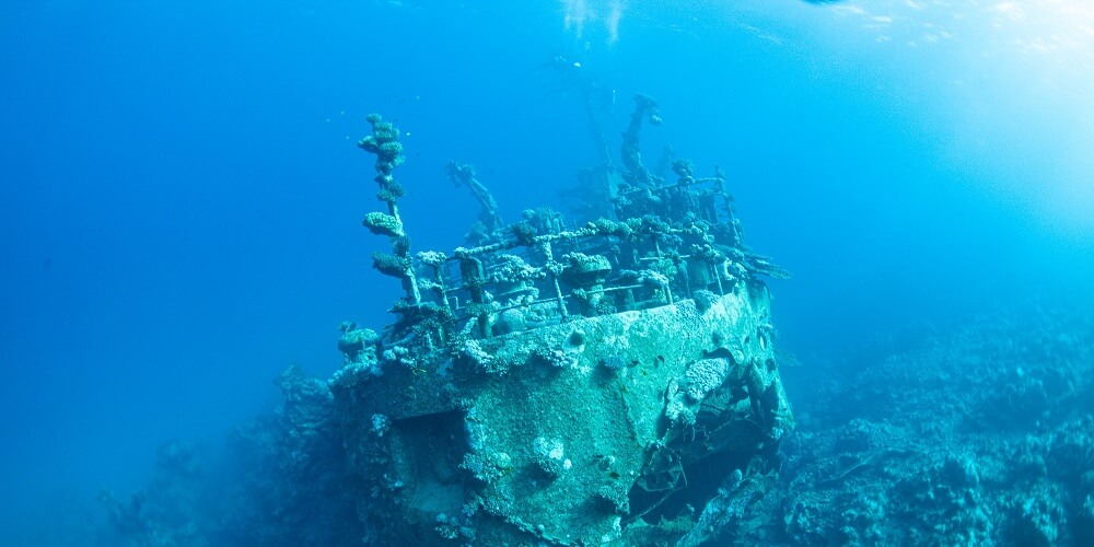

INFOMAR is Ireland’s national seabed mapping programme, funded by the Department of Environment, Climate and Communications (DECC). It is jointly managed by Geological Survey Ireland and the Marine Institute and is tasked with fully mapping Ireland’s territorial waters for the sustainable development of the country’s marine resources.
This film was reviewed for iCRAG by Robert Lepenies, Karlshochschule International University and Global Young Academy.
 Read more about Distinguished lecture series – From fire to space – Basic sciences lead and shape our paths toward sustainable development
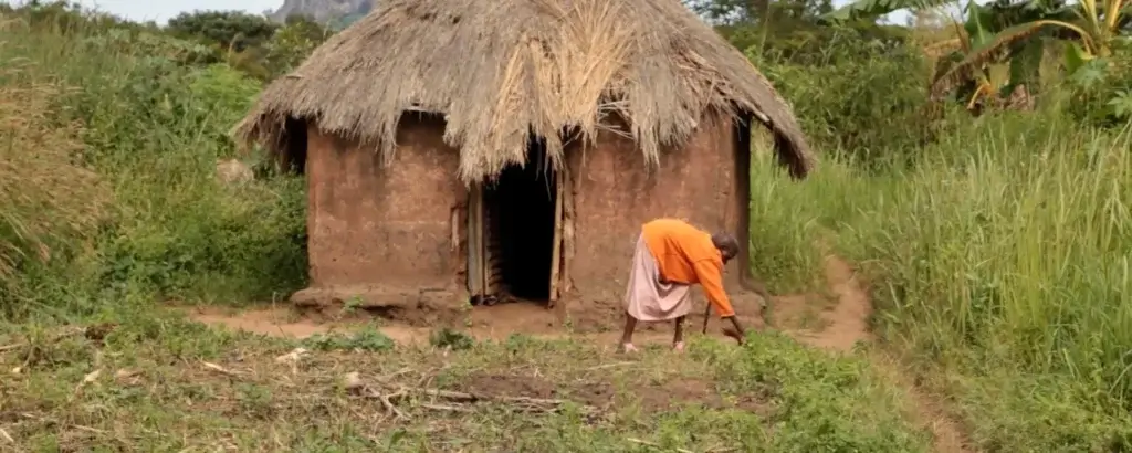 Read more about The transformative potential of localized land-registration in conflict-affected areas
 Read more about The potential of intellectual property regimes to accelerate sustainability transitions